
Natural Flood Management
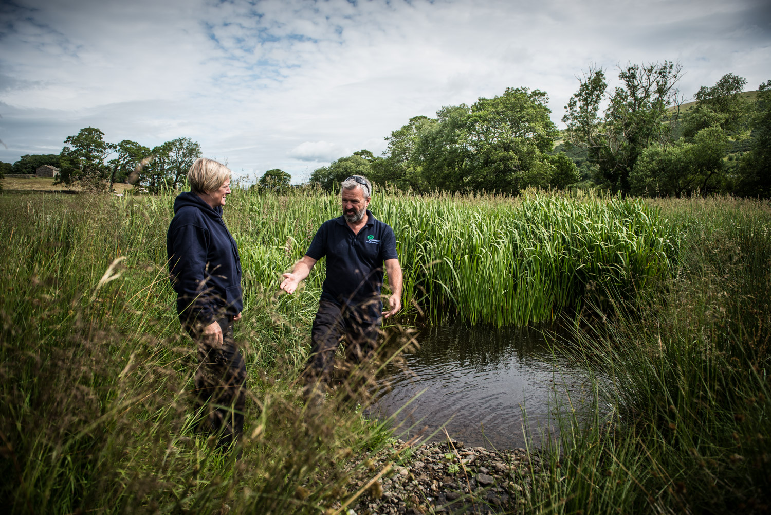

We use the landscape itself—ponds, wetlands, rivers and trees to hold water where it falls. This slows the flow, reduces flood risk, and builds resilience for farms and downstream communities. Planned well, natural flood management fits alongside farming, improving soils, supporting wildlife, and protecting livelihoods.
Extreme weather events are happening more frequently and can cause flooding and damage to upland valleys, before racing downstream to threaten communities miles away. Our approach aims to slow the floodwater —storing it in wet scrapes and ponds, slowing it with strategically placed trees, and reconnecting rivers to their natural floodplains where appropriate.
Each technique works with farming, not against it. Ponds provide drinking water for livestock while capturing peak flows. Riparian trees stabilize banks and filter nutrients while creating shelter. Restored floodplains become productive grazing when dry, flood storage when needed. The land does what it evolved to do—hold water, support life, and contribute to keeping communities safe downstream.
Case Studies
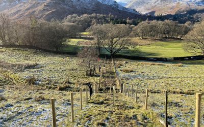
Catchment Scale, Hedgerow Planting and Wood Pasture Habitat
Multiple farm hedgerow planting and restoration of improved wood pasture habitat across the Ullswater and Matterdale area, involving 16 different farms and landowners.

Grisedale Valley Flood Resilience Project
The Grisedale Valley, a glacial U-shaped valley leading to Grisedale Tarn, faces increasing flood risks due to changing weather patterns. While popular with hikers and wild swimmers for its scenic beauty, the valley’s steep terrain and position below surrounding fells create vulnerability during heavy rainfall periods.

Ullswater Way Footpath Protection and Shoreline Restoration
The shoreline that runs from Pooley Bridge is part of the 22 mile Ullswater Way loop and is one of the highest traffic lakeside walks in our valley, as well as an essential footpath for access to holiday parks and campsites along the route.